 There is so much that is taken for granted when planning in the United States (no one has to think too hard about finding Brooklyn, NY on a map, for example). Overall, more developed countries have clearly identified geographic locations such as cities, neighborhoods and even city blocks and this enables community-building work to take place.
For countries like Haiti, however, this is not always so. Sure major regions, provinces and cities are easily located on a map. Identifying, or even being aware of, local jurisdictions and neighborhoods though is not always a given. As if the planning process itself was not daunting enough, urban planners in these environs are often compelled to establish or confirm community boundaries before even attempting to plan for economic development.
It is important to note that community economic development is not just about building infrastructure and strengthening  local businesses. Whether we are engaging in community building in Haiti or elsewhere, the beauty of a community is that it is defined by its geographic location as well as by the people who live, work and interact in that place.
Therefore, finding ways to connect people, land and money builds the local assets necessary to improve the local economy.
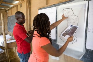
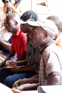
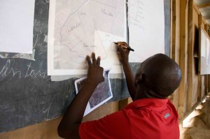
In our community participatory process in Haiti a few weeks ago, our interactive mapping exercise taught us more than we could have ever learned by simply looking at a map alone. A great deal was revealed by working with local community members to actually define their community. It was also empowering listening to and learning from the community rather than us imposing our outside ‘expertise.’
 By obtaining a better understanding of the physical and social dimensions of the community – from the community – we are now in a position to work with them in meeting their overall land-use and economic development goals.
Be on the look out for updates as this progresses!
Photo credits – Ross Oscar Knight and Tara Nicole Dorsey


About The Author: Vanessa L.
More posts by Vanessa L.